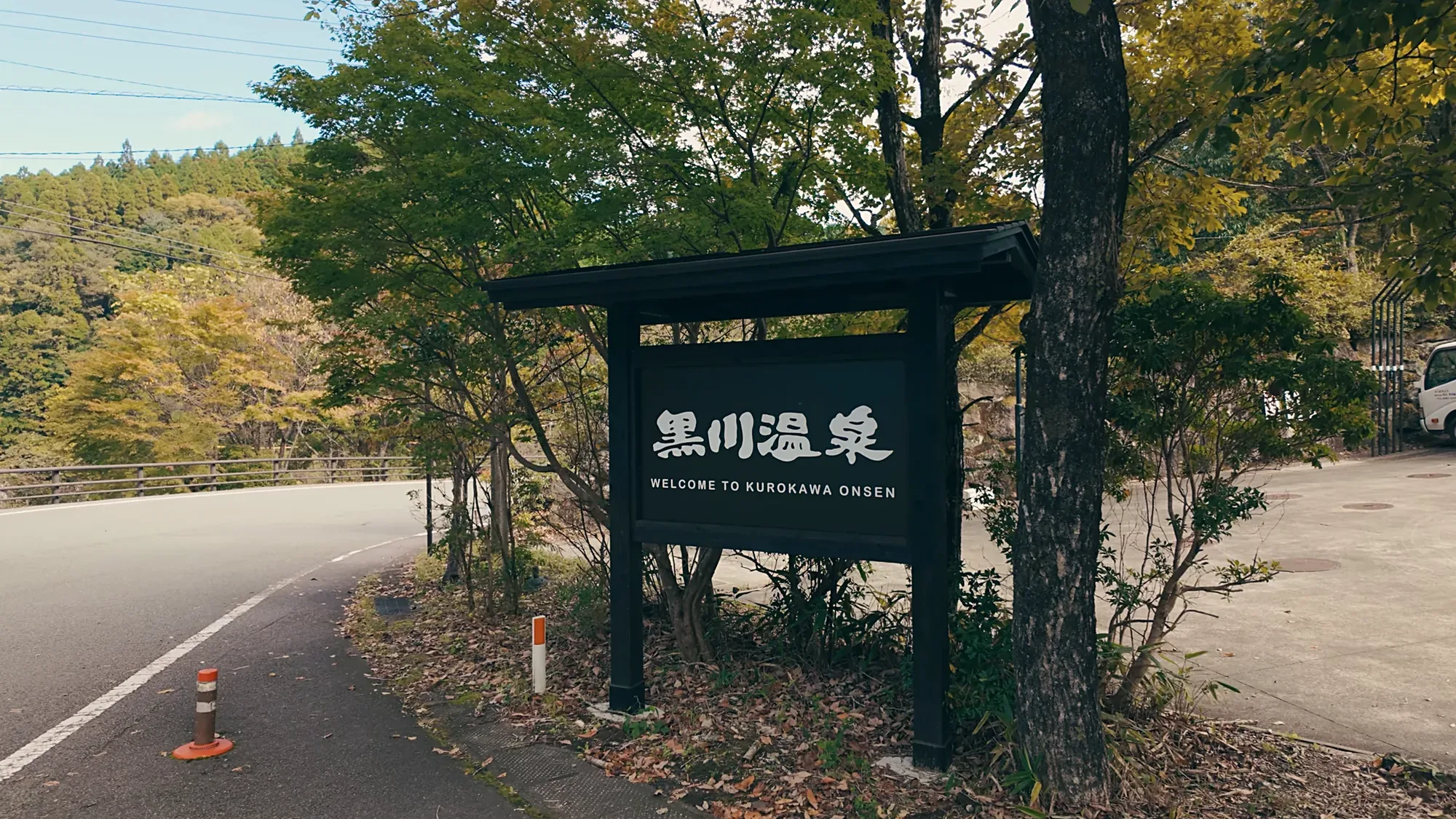
Should you drive at all?
Here is the honest answer most pages will not give you: probably not. Kurokawa is a walking village. Once you arrive, the car goes into your inn's lot and stays there, because the lanes, the baths and the shops are all reached on foot, and roadside parking is not allowed.
The direct bus from Fukuoka covers the same ground in about 2 hours 45 minutes by the association's own timing, and it drops you at the village's door. For a stay of one or two nights based entirely in the village, a rental car is an expense that sits idle. Take the bus, tell your inn which one, and let them meet you at the stop.
Drive when the car has a job to do. Three cases justify it: you are touring the wider Aso and Kujū highlands, where the roads are the sightseeing; you are travelling as a family or group, where one rental beats four bus fares; or you are visiting the outer hamlets, Tanohara, Manganji and the Senomoto grassland, which buses serve thinly. If that is your trip, read on. The driving here is some of the best in Japan.
The three roads into the valley
Three trunk roads feed the village, one from each direction. Route 212 comes down from Hita in the north, the approach from Fukuoka. Route 57 comes up from Kumamoto in the southwest, handing over to the Milk Road across the caldera rim. And the Yamanami Highway arrives from Yufuin and Beppu in the east, the celebrated highland run.
Which one you use is decided by your starting point, so the next three sections take them in turn. All three end the same way: a mountain village at about 700 m (2,300 ft), where the air runs 3 to 5°C (5 to 9°F) cooler than the lowlands and the road surface behaves like the altitude, not like the city you left.
From Fukuoka or Hakata: about 2 hours 30 via Hita
The northern approach is the simplest to navigate. From Fukuoka city or Hakata, take the expressway through the Dazaifu interchange, continue to the Tosu junction, and leave the expressway at Hita. From the Hita interchange, Routes 212 and 442 carry you the last roughly 60 km (37 mi), about an hour through farm valleys and over the shoulder of the highlands.
Budget about 2 hours 30 for the whole run. The expressway half is ordinary; the final hour is the reward, rice terraces giving way to cedar and then to open highland. Fuel and convenience stops thin out after Hita, so handle both before you leave the expressway.
From Kumamoto: about 1 hour 30 across the caldera
The southwestern approach is the short one and the dramatic one. From Kumamoto city or Kumamoto Airport, Route 57 runs toward Aso, and the key turn is onto the Milk Road, prefectural route 339, which climbs across the top of the Aso caldera. Allow about 1 hour 30.
The Milk Road is exactly what its name promises, a dairy-country ridge run along the caldera's rim, pasture on both sides and the crater floor spread out below. On a clear day it is the finest 90 minutes of driving on this list. In cloud or at night it is a mountain road like any other, and the winter section below applies to it with full force.
From Beppu, Yufuin or Kitakyushu: about 2 hours on the Yamanami
The eastern approach rides the road that started Kurokawa's modern story. Enter the expressway at the Beppu interchange or at Otemachi, pass the Hiji junction, and come off at Kujū; from there the Yamanami Highway carries you across the grassland country to the village. Allow about 2 hours.
This is the 1964 highway whose first tourist boom the village outlived, and it has aged into one of Japan's great scenic drives, the Kujū range on one side and the five peaks of Aso ahead. The Senomoto grassland, listed first among Kumamoto's hundred green landscapes, sits right on the route and makes the natural leg-stretch. Drivers coming from Yufuin get the same run in miniature and should not hurry it.
Parking, and what happens to the car when you arrive
Every ryokan in the village has parking, so the arrival plan is simple: drive to your inn, hand over the car, and forget it until departure. The lanes themselves are for walking. They are narrow, busy with bathers in yukata, and roadside parking is not allowed anywhere in the village.
Day visitors should ask their first bath or lunch stop about the designated lots rather than improvising. The one daily use a car earns during a village stay is the outer-hamlet circuit, the river temple at Manganji, the old bathing hamlet of Tanohara, the grassland at Senomoto, all minutes away and thinly served by bus. Out after the morning bath, back before the afternoon one, and the car has justified itself.
Winter driving: the altitude sets the rules
From roughly December through March, treat every approach as a snow-country road. Winter tyres are required equipment in season, and rental agencies in Kyushu do not fit them by default, so request them explicitly when booking. Mountain roads here ice, especially the Milk Road's exposed rim section and the Yamanami's high stretches, and black ice outlasts the snowfall that made it.
Three habits keep the winter drive boring, which is the goal. Arrive in daylight; the roads are manageable at noon and unforgiving after dark. Check the association's live weather and traffic page on the morning of travel, which carries road conditions and the earthquake-era service notices, and re-check before the return leg. And if the forecast turns genuinely foul, the direct bus still runs and your inn will hold the booking; no itinerary is improved by chains going on at dusk on a caldera rim.
The verdict, road by road and traveller by traveller
For scenery, the Yamanami Highway wins, with the Milk Road a close second; October is the drivers' month, when the high country turns first. For speed, Kumamoto's 1 hour 30 is the shortest approach and pairs naturally with arrivals at Kumamoto Airport. For simplicity, the Fukuoka run via Hita asks the least of a nervous driver, expressway most of the way and one well-signed exit.
And for most first-time visitors, the verdict stands where this page started: the bus. The village was rebuilt for people on foot, its best hours happen after the day's drivers have left, and the money a rental saves buys a better room or a second night. Drive if the highlands are the trip. If the village is the trip, let someone else hold the wheel, and start your first bath an hour earlier.
Frequently asked questions
Do I need a car to visit Kurokawa Onsen?
How long is the drive from Fukuoka?
Is the drive from Kumamoto difficult?
Do I need winter tyres?
Where do I park in Kurokawa?
Which route is the most scenic?

Verified by The Japan Onsen Society
Show all sources
Verified September 6-12, 2026 by The Japan Onsen Society.
黒川温泉観光旅館協同組合 アクセス (Kurokawa Onsen Ryokan Cooperative — Access): the three trunk-road approaches, interchange routings, journey times, and direct-bus timing.
日本温泉協会 温泉地詳細[黒川] (Japan Spa Association — Kurokawa area profile): the Hita interchange route and its roughly 60 km (37 mi) final leg.
黒川温泉観光旅館協同組合 天気・交通情報 (Kurokawa Onsen Ryokan Cooperative — Weather & Traffic): winter road and service-condition checks; perishable, re-check before travel.
Related guides
Trip Planning
Day trips
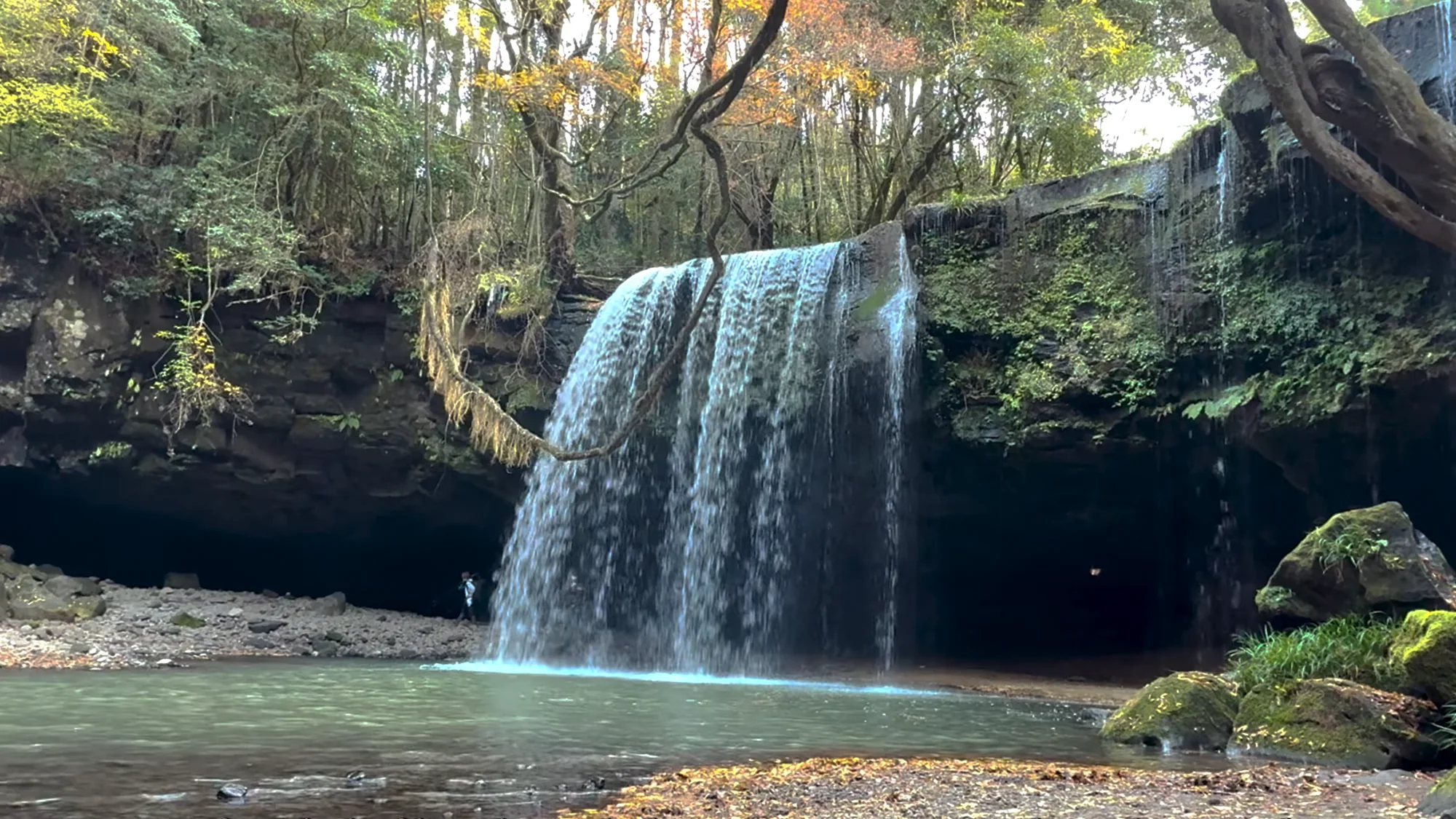
Kurokawa sits on the shoulder of a great caldera. Within an hour lie a walk-behind waterfall, a rim view, and an active crater.
Trip Planning
Winter
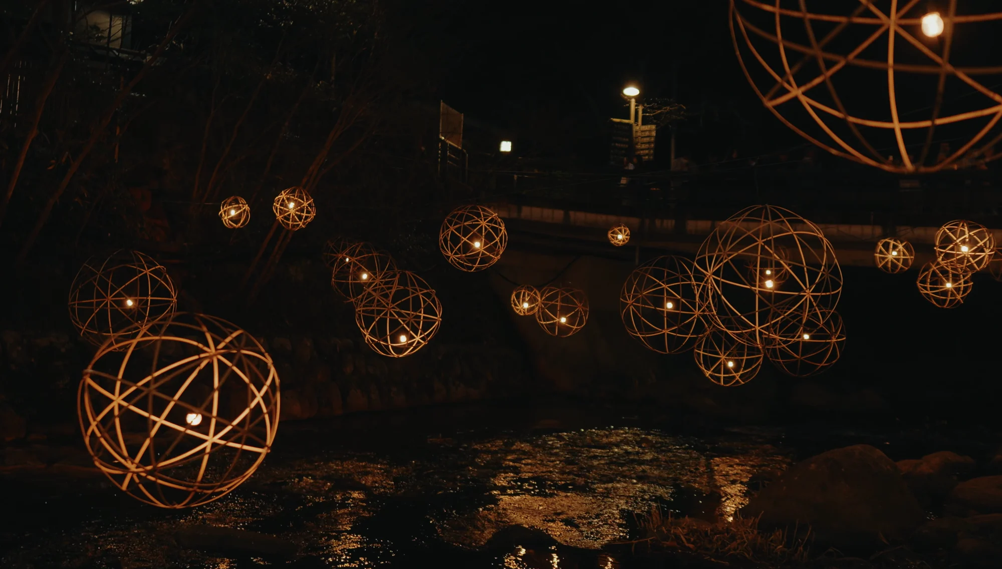
The baths were built for cold air. Winter supplies it, adds the lanterns, and thins the day crowds.
Trip Planning
Kurokawa Onsen: The Complete Guide
A wooden pass buys three baths from twenty-five. The innkeepers agreed, decades ago, to look like this.